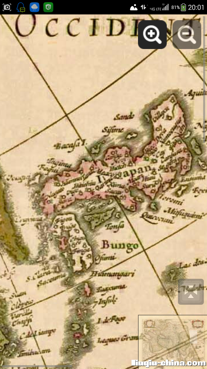
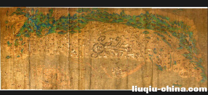
1757年(清高宗乾隆22年),Old, antique map of Japan by Robert de Vaugondy.
Category: Antique Maps Asia Japan
L'Empire du Japon, Divise en Sept Principales Parties ... - de Vaugondy R., c. 1757.
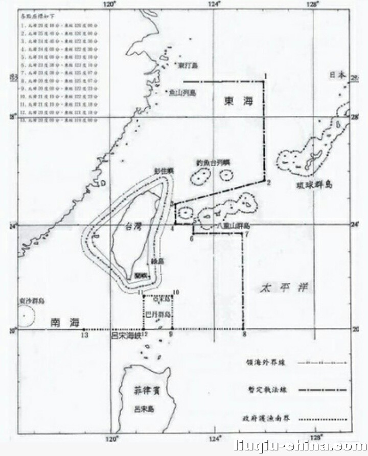
...
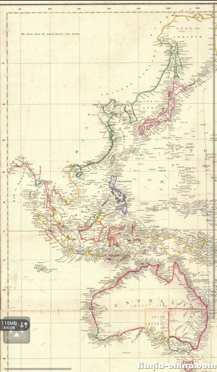
1840年(清宣宗道光二十年)《the Basin of The Pacific》 by Jas. Wyld, 「JAS. WYLD,」,Victoria's Royal Geographer's Chart of the Pacific。Description:Geographer to the Queen H.R.H. Prince ...