| 1644~1658年间(明思宗崇祯17年/清世祖顺治元年~清顺治15年),Old antique map of Asia by J. Janssonius Category: Antique Maps > Asia > Asia - Continent Rating: * * * * Asia Recens Summa Cura Delineata - J. Janssonius, 1644-58 Old antique map of Asia by J. Janssonius. Date of first edition: 1631年(明思宗崇祯4年/清太宗(后金:皇太极)天聪5年), (without imprint of Janssonius) Date of this map: 1644-1658 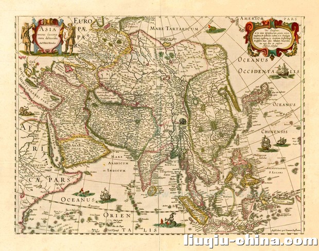 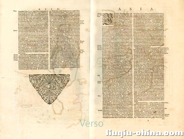 Copper Engraving Size: 37.4 x 49.8 cm (14.72 x 19.61 inch) (height x width) Verso: German text Condition: Contemporary old coloured, excellent. References: Van der Krogt 1, 8000:1D.3 From: Novus Atlas, das ist Welt-beschreibung mit schönen newen aussführlichen Taffeln inthaltende die Königreiche und Länder des gatntzen Erdreichs. Amsterdam, J. Janssonius, 1644-58. (Van der Krogt 1, 424) 下图:为中国华东、华北、朝鲜、外东北黑龙江流域出海口的截图。 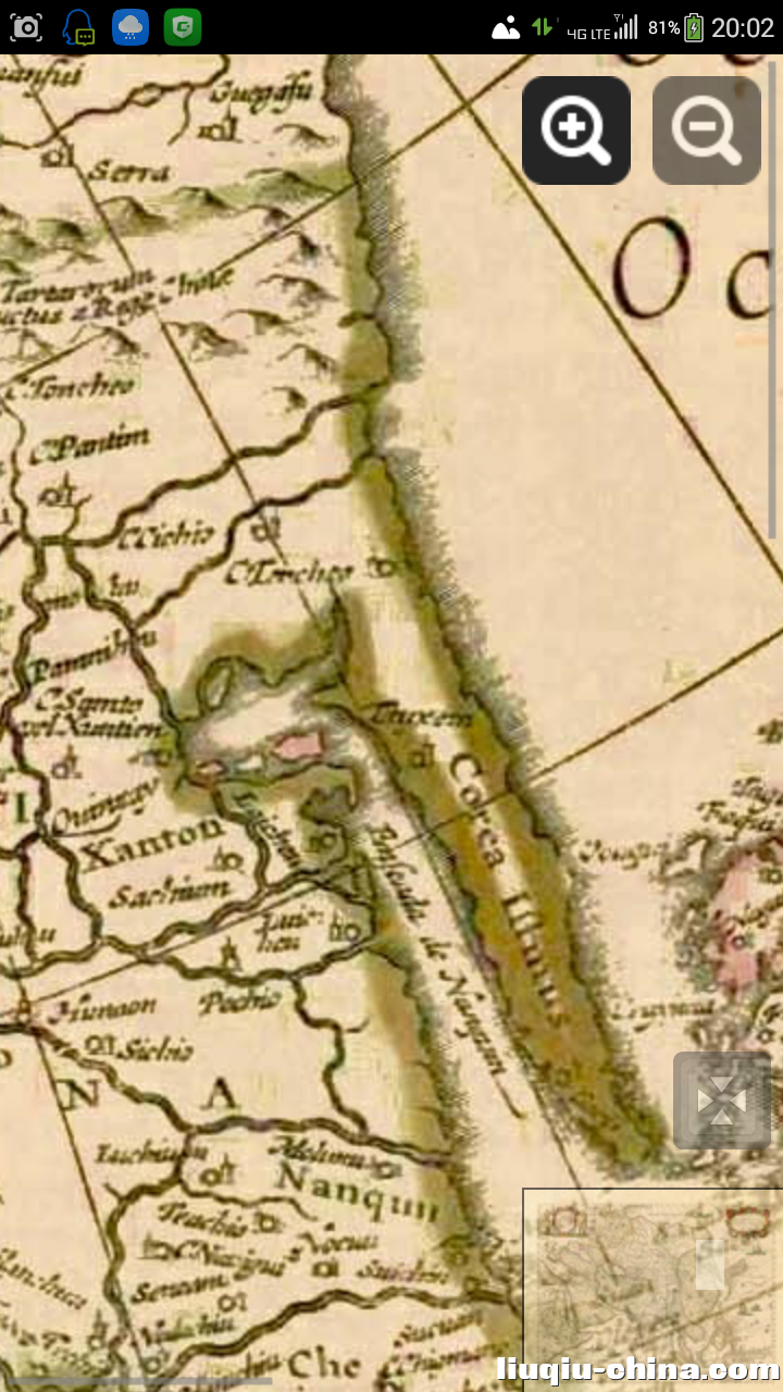 下图:日本本州岛、四国岛,由于当时九州岛被中国闽浙海寇盗商等群聚集体把持,非日本幕府所管辖领地。 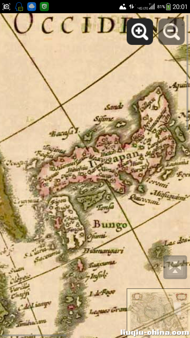 下图:中国琉球列岛、台湾岛、九州岛、吕宋岛列岛东部为中国海(太平洋西岸) 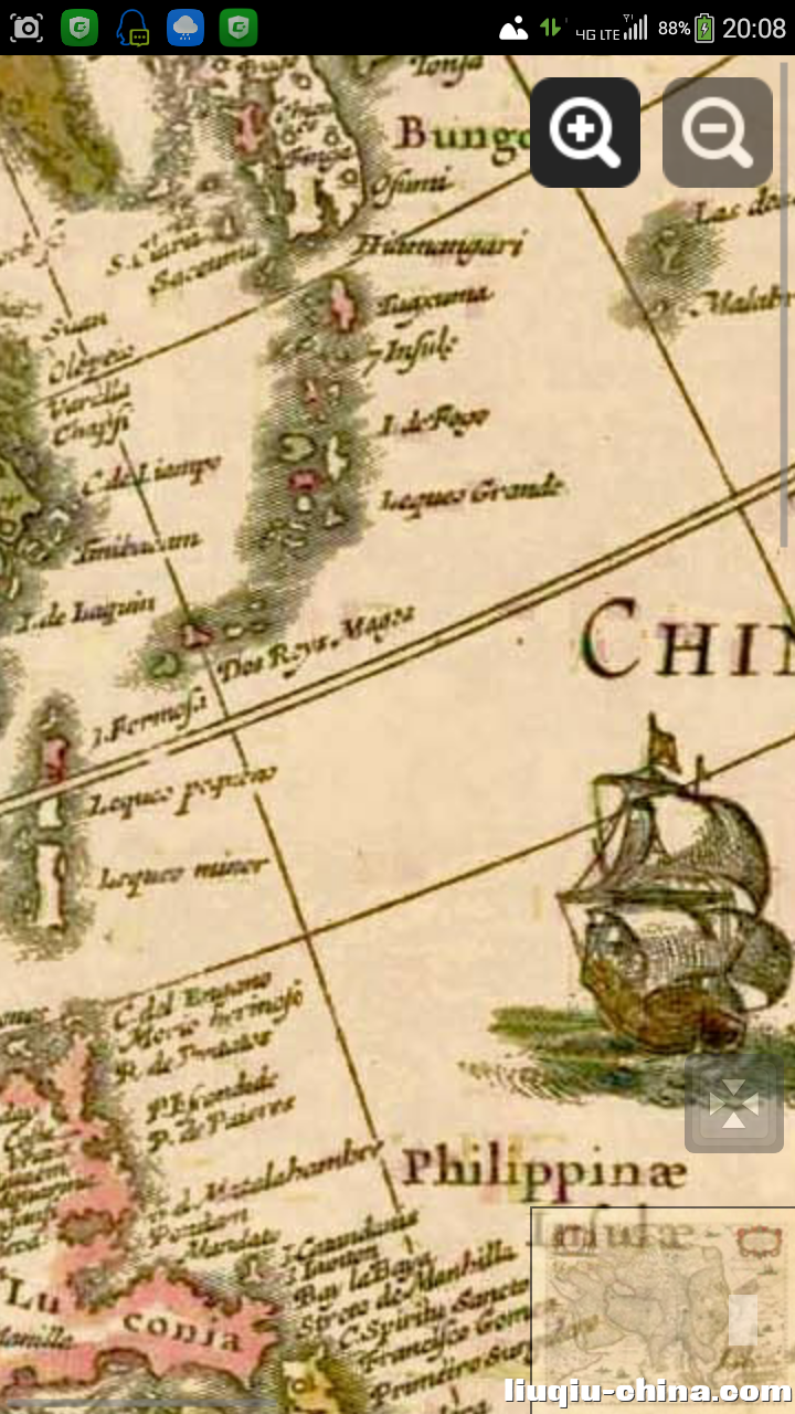 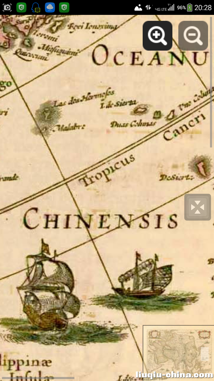 下图:中国华中、华南、朝鲜、琉球、台湾周边海域截图 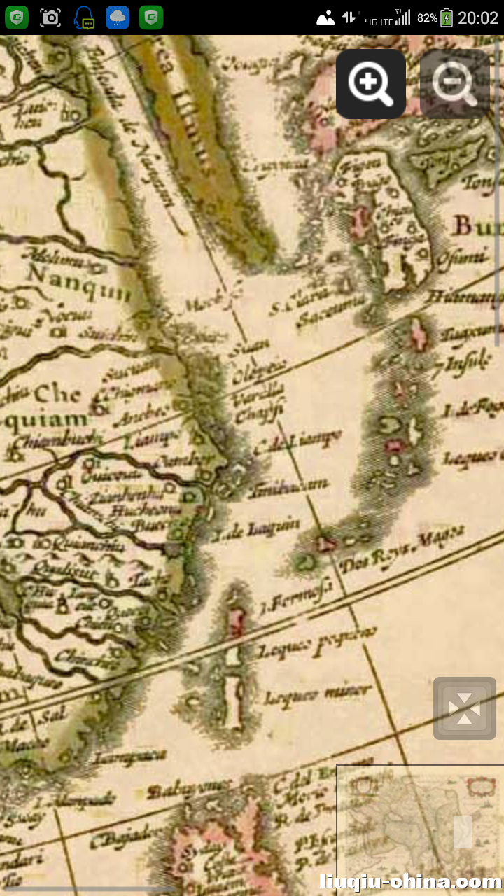 下图:中国华南、台湾岛、南中国海域周边截图。 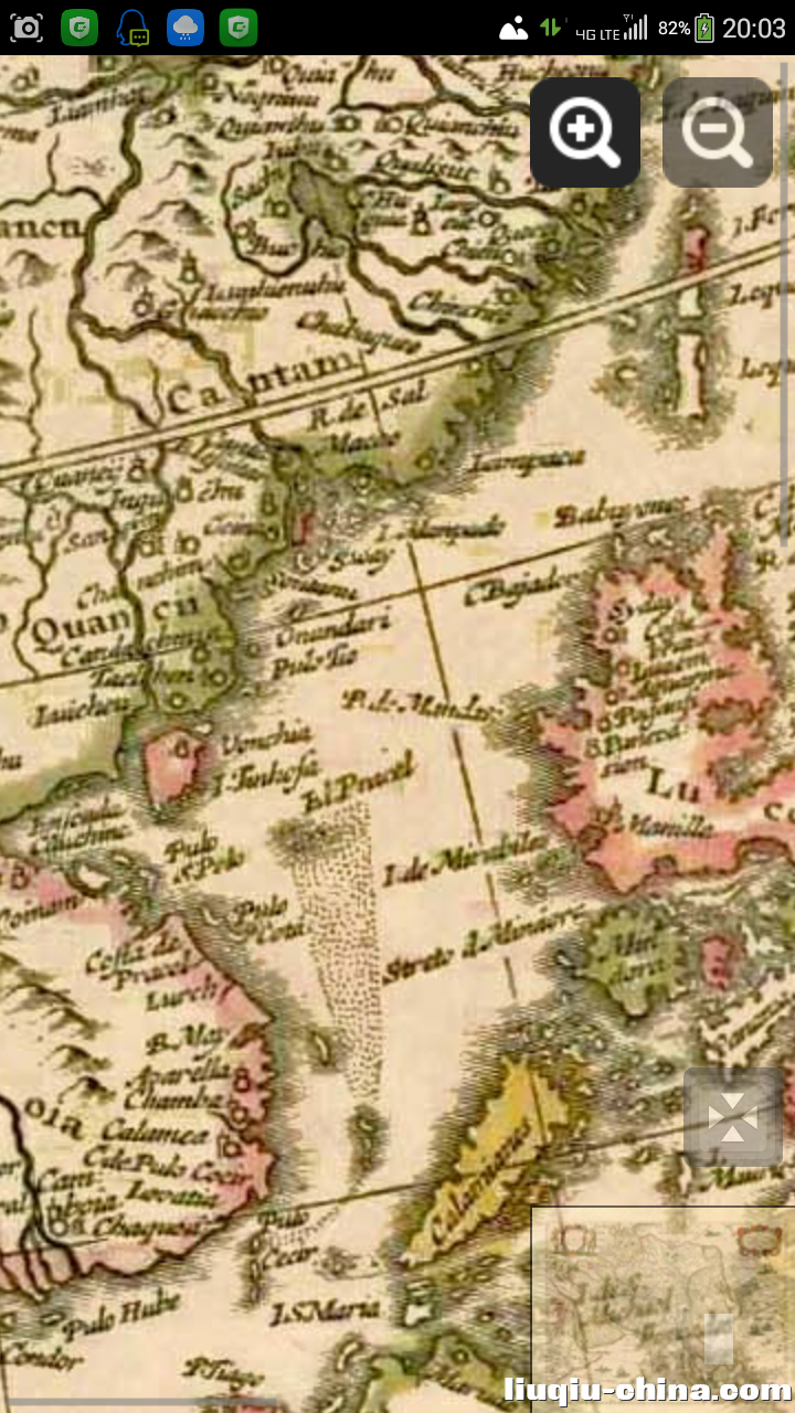 下图:南中国海域周边截图。 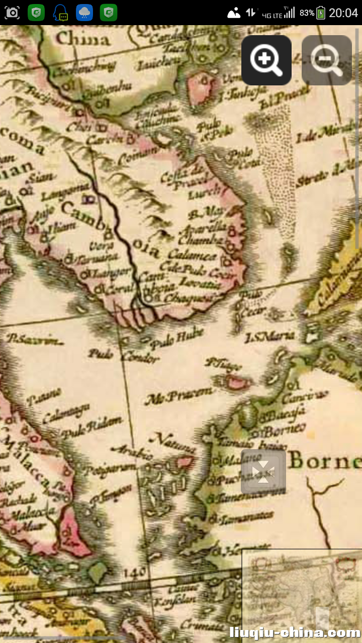 。 |
手机版|小黑屋|Archiver|中国琉球网 ( 闽ICP备13003013号 )
GMT+8, 2024-7-27 13:11 , Processed in 0.934332 second(s), 10 queries , File On.
Powered by Discuz! X3.4
© 2001-2023 Discuz! Team.